Day 66, 67, 68 Sunday, Monday, Tuesday April 3, 4, 5
Mill Canyon BLM Lands Moab, Utah
We had hoped to get a campsite
at one of the Forest Service campgrounds along the river east of Moab,
calculating that coming in on Sunday afternoon would work for us! Apparently we would have had to get there in
the morning and wait in line – there were no campsites at any of 3
campgrounds! We continued north, found a
spot to perch in a big gravel lot in Mill Canyon. The price is right, and our solar system
ensures that we have power. We had a
great cell signal, so we had Internet!
 |
| Our campsite |
 |
| Linda walking through the desert by campsite |
 |
| Sign at dinosaur exhibit |
 |
| Dinosaur print |
This campground is the site of
a special exhibit where many dinosaur tracks were discovered! We walked down and around in the area, read
about the various dinosaurs whose tracks were discovered here. After dinner we drove up a ways and hiked to
another dinosaur site, where the dinosaur bones have been left in the side of a
canyon along a wash, to demonstrate what they look like.
Monday we went to Arches National Monument. A natural
bridge is created by water erosion by a stream.
A natural arch is created by wind, natural rockfall, as well as erosion
by rain. There was a line waiting to get
into Arches! But we got in OK,
did lots of walking, and as usual, took way too many pictures. Here there were a lot of people, from around
the world. Moab, Utah, is a tourist area
for sightseeing, mountain biking, rock climbing. There are lots of restaurants and shops here,
as well as motels, hotels, and RV parks.
 |
| Road into Arches National Monument |
 |
| On the Balancing Rock Trail |
 |
| Ready to run fast! |
 |
| Lichen forming a picture! |
 |
| Pine Tree Arch |
 |
| Three gossips |
 |
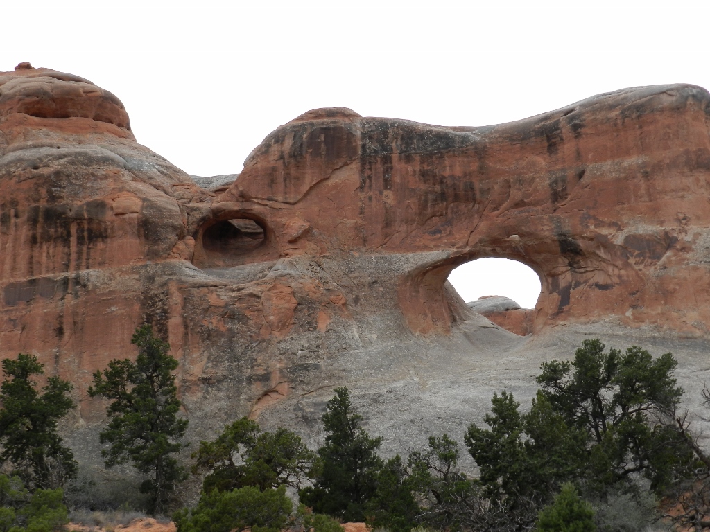
| New arch forming |
 |
| Mountains and hoodoos |
 |
| Lots of people here! |
 |
| Rock crystals |
 |
| More hoodoos |
 |
| Arch in a slot canyon |
 |
| Walking up the slot canyon |
 |
| Hike through the desert to another arch |
 |
| Tired hoodoos |
 |
| New arch beginning |
Tuesday we took our bikes down
to Moab and rode the trail along the Colorado River. First we tried to ride west and south, as a
green bike path showed in Google Maps, but we were not able to find a path on
the west side of the highway. We rode
back north, up through the canyon, and by the campgrounds that still were
full. This is a beautiful place, with
the soaring rock walls covered in dark desert varnish and the water flowing by
silently. We rode a ways past the east
end of the bike trail, along the road.
There was a strong wind going up the canyon, so we rode a few miles
farther, then headed back into the wind.
I was in 1 and 1 going about 6 miles an hour! It was a little gusty, too, causing me to
focus on my balance as cars whizzed by and the river was on my right!
 |
| Riding toward the campgrounds |
In the afternoon we went for a
drive to see the Gemini Bridges, driving up a rough road into the hills. We were glad to have the 4 wheel drive, were
in low range for a couple of places. We
hiked all around trying to see the bridges, but we never quite did! We did see lots of rocks and a big canyon.
 |
| Rock climbers along the highway |
 |
| View back down the road from the ridge |
 |
| Tuzi resting after her climb |
 |
| Raven on a stock |
 |
| Canyon where the Gemini bridges are hiding |
 |
| Monitor and Merrimac |


No comments:
Post a Comment